Flight to the Darwin Range
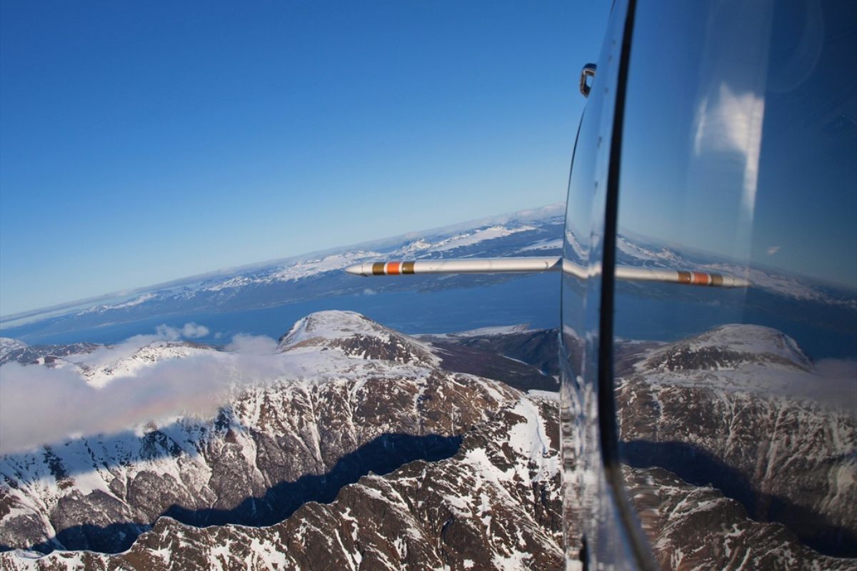
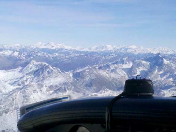
The Darwin Mountain Range is a mountain range covered by an ice field, which is located southwest of the island of Tierra del Fuego, entirely in Chile. It extends from Mount Sarmiento (to the west, in front of Punta Arenas) to Mount Bove (to the east, near Ushuaia). This mountain range is distinguished by the particularity of its glaciation, formed by temperate glaciers, which acquire dimensions unknown in other mountainous areas, except in the polar regions.
It is considered a continuation of the Andes Mountain Range, which is interrupted by the Strait of Magellan, and regains its mass and height (from 2,000 to 2,400 meters above sea level) in the Isla Grande de Tierra del Fuego, with a complex group of mountains, covered by a mantle of snow and ice that covers 140 kilometers, from Mount Sarmiento, in the Magdalena Channel, to Mount Bove, in the Beagle Channel.
To the north, the mountain range descends to the Almirantazgo sinus, covered by Magellanic sub-Antarctic forests where lenga, coigües, cinnamon trees and ferns grow along with other species, constituting a landscape of unparalleled beauty in which the presence of virgin forests, majestic glaciers, snowdrifts, lakes, waterfalls and rivers that add to the imposing Darwin Mountain Range stand out.


The view of the Marinelli Glacier, in addition to the sighting of beaver dams in Glacier Lake, and elephant seals, penguins and cormorants in Tuckers Islets, give dimension to this completely virgin territory.
The flight begins with the request for overflight permits over Chilean territory, since 75% of the flight takes place there. This procedure can take approximately two hours, so it is highly recommended to plan at least one day in advance for this impressive flight.
The other essential condition is that the sky must be clear, in order to appreciate the beauty of these mountains and the majesty of its glaciers.
The trip takes approximately 220 NM (410 kms), with an approximate duration of between 2 and 2.5 hrs.
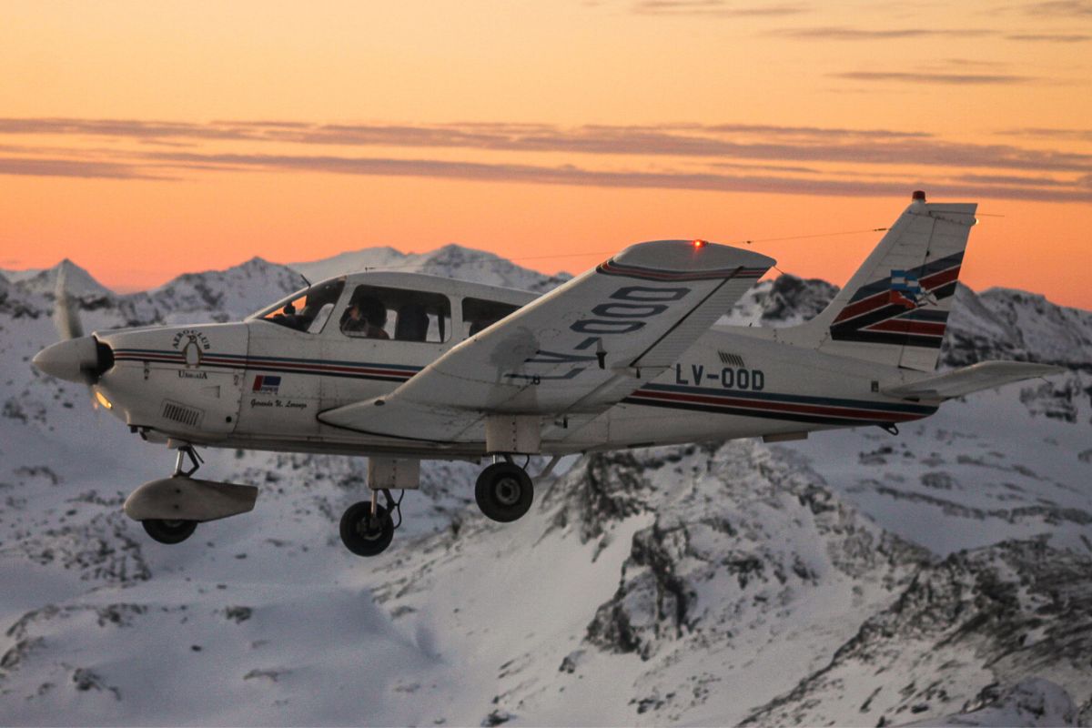
You take off from the old Ushuaia airport (former Naval Air Base) and enter the Valleys sector of the Andes Mountain Range, through the side of Mount Olivia. We fly over the Tierra Mayor Valley, admiring the Alvear and Sorondo mountain ranges, Lake Escondido, Lake Fagnano and Lake Yehuin, before heading west and entering Chilean territory at the head of Lake Deseado.

Entering the Chilean sector of the Isla Grande de Tierra del Fuego, and already under Chilean air control, a valley is crossed until crossing the Seno del Almirantazgo, and then bordering an imposing glacier. We fly over the surroundings of Mount Shipton (8100 ft. – 2439 mts.) and Mount Darwin (8000 ft. – 2438 mts.), then we fly south to drop into the north bank of the Beagle Channel and see the set of glaciers that flow into it. For this reason this portion is known as “The Avenue of the Glaciers”.
Afterwards, we leave Chilean territory in the vicinity of Lapataia National Park and fly over Monte Vicinguerra (and its homonymous glacier) accessing Ushuaia through the Andorra Valley in an approach descent.
Would you like to book a flight?
It is possible to make a free reservation. You can fill out the following form and we will contact you as soon as possible.
*All our flights are subject to change or cancellation. Weather conditions (cloud cover, precipitation, turbulence, etc.), aircraft operational issues and other factors may cause variations in circuits and even cancellations.
